Koh Chang Travel Guide: Thailand's Second Largest Island
A guide to Koh Chang — White Sand Beach, jungle waterfalls, diving, and how to get to Thailand's second largest island near the Cambodia border.
Guides for Koh Chang
Koh Chang at a glance
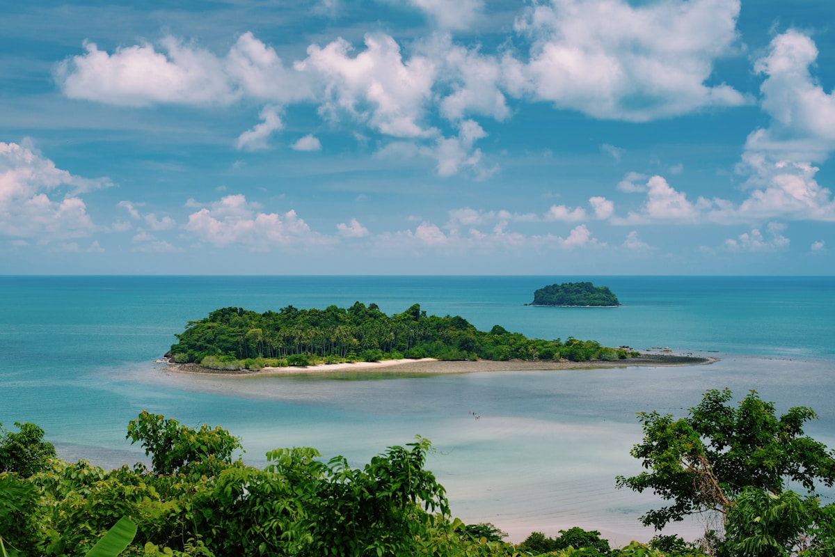
Koh Chang is Thailand’s second largest island (after Phuket), located in Trat province near the Cambodian border. The interior is 70% national park — steep jungle-covered mountains that make the island visually dramatic and keep development to the western and southern coasts. The island is less visited than Phuket or Koh Samui, with a more relaxed atmosphere and genuinely preserved forest.
Beaches
White Sand Beach (Hat Sai Khao) — The longest and most developed beach on the west coast. 3km of sand with the island’s main concentration of guesthouses, restaurants, and bars. The beach is attractive with good swimming in season. The northern end is cleaner and quieter.
Klong Prao Beach — 3km south of White Sand. A long beach backed by mangroves and resort properties. Quieter than White Sand, with a different atmosphere — more families and couples, fewer backpackers.
Kai Bae Beach — Further south. A smaller bay with clearer water than the northern beaches. Mostly mid-range bungalow accommodation.
Lonely Beach (Hat Tha Nam) — Despite the name, no longer lonely — it’s the backpacker centre with bars, reggae music, and a well-established social scene. The beach itself is the most scenic on the island but the atmosphere is entirely driven by the guesthouse strip.
Bailan Bay and Bang Bao — The south coast, with Bang Bao being a traditional fishing village on stilts. Several dive operators and restaurants are built over the water on the village piers. The bay has good diving access to the offshore sites.
Jungle and waterfalls
Koh Chang’s interior is more impressive than its beaches. Three main waterfalls are accessible:
Klong Plu Waterfall — The most popular (40m drop, accessible car park, entry ฿200). A short walk through forest. Swimmable pool at the base.
Than Mayom Waterfall — On the east coast. A series of smaller falls with royal graffiti — inscriptions from the reigns of Rama V, VI, and VII carved into the rock. Less visited than Klong Plu.
Khlong Neung Waterfall — More remote, requires a guide or a longer hike. The forest around it is largely undisturbed.
Trekking and jungle tours — Half-day jungle walks with guides: ฿600–900. The jungle is genuinely wild — monitor lizards, macaques, hornbills, and occasional wild boar. You can also browse tours and activities on Koh Chang including diving day trips and jungle treks.
Diving
Bang Bao Bay at the south tip is the main dive hub. Sites include the HTMS Chang wreck (a decommissioned navy ship sunk as an artificial reef in 2012, 14–30 metres), coral reefs around the offshore islands Koh Rang and Koh Kra, and snorkel sites near the coast.
Day dive packages: ฿2,000–3,000 including 2 dives, equipment, and boat. Visibility is variable (5–20 metres depending on season and recent weather).
Cambodia border crossing
The Haad Lek–Cham Yeam crossing (at the southern tip of Trat province, accessible by public transport or tour) connects to Sihanoukville in Cambodia. Minivans from Trat run to Haad Lek (2 hours). Cambodian visa on arrival is available at the crossing ($30 USD). A bus continues to Sihanoukville (5–6 hours).
Practical information
Getting there — Bus from Bangkok Eastern Bus Terminal to Trat (5–6 hours, ฿250–400) + ferry from Laem Ngop (30km from Trat, ฿80). Bangkok Airways flight from Suvarnabhumi to Trat (1 hour, ฿1,500–3,000) + ferry. The ferry crossing itself takes 35 minutes.
Getting around — Songthaews run the west coast road. Motorbike hire (฿200/day) for the full island circuit. The east coast road is scenic but poorly maintained in parts.
Best time — November to April. The island gets the eastern Gulf monsoon October–November but also has some exposure to the southwest monsoon May–October. December to February is the peak and most reliable season.
Where to stay
Budget: Mac Resort Hotel (White Sand Beach, approximately ฿700–1,400/night) — Beachfront location on the main beach with a pool. One of the best-value options at the northern end of White Sand, well-positioned for beach access, restaurants, and the songthaew route.
Mid-range: Amari Emerald Cove (Klong Prao Beach, approximately ฿3,500–7,000/night) — The largest resort on the island. Broad beach frontage, multiple pools, and direct access to the mangrove canal running behind Klong Prao. The most complete resort setup on Koh Chang, suited to travellers who want a full-service base without Phuket-scale crowds.
Upscale: Keereeta Resort (Kai Bae Beach, approximately ฿4,000–9,000/night) — Hillside villas with sea views over the bay. A quieter setting than the White Sand Beach concentration, and notably less busy during peak season. The south-facing aspect gives good sunset light.
Backpacker: Lonely Beach — The highest density of budget bungalows on the island. Treehouse Lodge and similar operations charge approximately ฿400–800/night and attract the island’s social scene — the beach itself is among the more scenic on Koh Chang, despite the infrastructure around it.
Prices listed are approximate as of 2026; rates increase significantly over the December to February peak and during Thai long weekends.
Where to eat
Nalin Kitchen (White Sand Beach) — Local Thai cooking — curries, stir-fries, som tum — at consistently good-value prices. Approximately ฿150–280 per person. Popular with long-stay visitors for the straightforward quality and no upcharging for foreign guests.
Oodies Place (Klong Prao) — Thai seafood and western dishes, with a following among families and couples based at the Klong Prao resort strip. Approximately ฿300–600 per person. Better for a slower evening meal than a quick lunch stop.
Bang Bao pier restaurants — Several restaurants built on stilts over the water at Bang Bao fishing village on the south coast. Fresh fish, grilled prawns, and crab sold by weight. Best visited at lunch when the catch is freshest. Approximately ฿400–800 per person for a full seafood meal with rice and drinks — the most distinctive eating experience on the island, and worth the journey from White Sand Beach.
White Sand Beach evening food stalls — The stalls along the main road at White Sand Beach serve pad thai, grilled corn, and fresh pineapple for ฿40–80. The cheapest eating on the island, running from around 5pm until late.
See also: Things to do on Koh Chang · Best hotels on Koh Chang · Koh Chang vs Koh Lanta
Book an experience
Top experiences in Koh Chang
Explore the best tours and activities in Koh Chang — instant confirmation, free cancellation on most bookings.